After a month of collaborative mapping a new map of Orkney has been created. By thinking big, Map Orkney Month seems to have captured people’s imagination. Our map looks like Orkney, however it is far removed from the Ordnance Survey and the tourist trail of Neolithic World Heritage Sites, brochs and bird watching. Our map is an unfamiliar Orkney, revealed through the experience and creativity of its inhabitants.


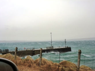
Mapping was undertaken on all the main permanently inhabited islands in the archipelago, and on most days during March, often with multiple contributions per day. All the main modes of transport were included: plane, ferry, rowing boat, bus, car, push bike and walking. The imaginary and psycho-archaeological contributions from within Orkney following the journeys of photographer Gunnie Moberg, and Elsewhere including East London, Bergen – Norway, and Wei Ha Wei – China, added another level, blurring the distinctions between past and present, real and imaginary.

Despite what many initially thought, however, it was not necessarily about covering ground, charting large areas or recording what we already know. The emphasis (from my point of view at any rate) was on everyday journeys, less familiar places, stories and creating heritage sites through enacting or choreographing the project. The only loose instructions were to record journeys for a single day within March using a handheld GPS or smart phone, and record one site of significance.


Participants took this how they wished (I did not ask them what they were planning nor dictate the outcome), with some recording part of the day or a short walk, some recording numerous sites, and others keen to show the highlights of and map their island. Some took recording everyday journeys literally and stuck to their normal routine, others chose a day that they knew something different was happening, and some undertook choreographed mini-projects. Media included GPS, smart phones, tablets, text, photos, sound and video. The diversity of contributions is bound by a collective creativity and thoughtfulness which has naturally gravitated towards what could be termed Creative Archaeology. In terms of archaeological theory, MoM is about exploring an archaeology of surface survey (as opposed to the usual trope of excavation and the depth metaphor), archaeologies in and of the present (Harrison 2010) and the idea that Contemporary Archaeology has the potential to find new forms of practice (Dixon 2009). Moreover, it exposes the idea that, ultimately, archaeology is about the telling of stories (Sarah May pers comm). In the context of Public Archaeology 2015, this was achieved through collaboration and multi-vocal mapping – a county wide archaeological walkover survey – with the ‘public’ taking the lead (a public that also includes archaeologists).


For me, the most powerful experience of the project was giving away the control; posting out the technical equipment and basic know-how, not asking what participants were planning, and waiting for the results to be posted back and emailed. The results from this brand of public archaeology were experimental and unexpected. Many thanks to all of the participants, without whom there would have been no project, to the Pier Arts Centre and Grooves Records for hosting the two weekend workshops and to James Dixon for creating Public Archaeology 2015.
What next?
The intention is still to produce an A3 leaflet with the new map detailing journeys, sites and photographs. These could be coded and the sites listed with coordinates on the back. Although slightly abstract, the leaflet will provide the potential, and perhaps inspiration, for people to go and find some of these places. Originally, I wanted to complete this within the month, but this was not possible as MoM became rather epic. I plan to work on this in the next few weeks. I’m also going to get feedback from participants about their experience, how they found the idea of mapping with a GPS, what they learnt and why they mapped where they did. One participant has already said ‘you are changing the way people think about space, which is really hard to do, and really good’. Much to reflect upon.
Lastly, I did make a small contribution on the first day, but thought I’d leave it until last…
Dan Lee: Stromness – Kirkwall 01/03/15
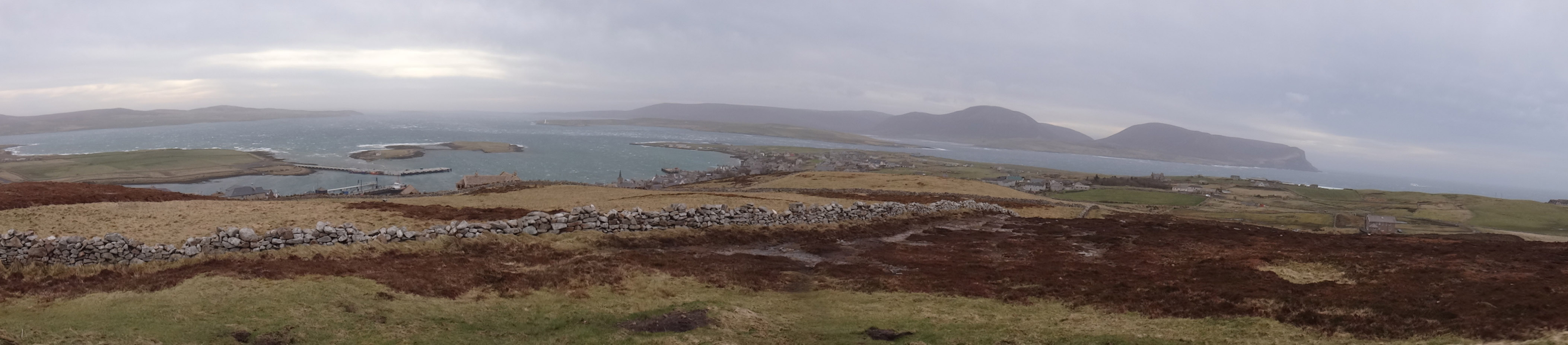
 In the spirit of Public Archaeology 2015, which encompasses 12 month long projects throughout the UK, I wanted my contribution to somehow connect Orkney with other places and reflect this wider collaboration and engagement. As such, after travelling by car from Stromness to Kirkwall, a journey which I do every day, and going swimming with my daughter, we drove to the top of Wideford Hill. This very windy 225m summit hosts numerous telecommunication masts and dishes which connect Orkney with the wider world.
Also, I knew there was a topograph – a metal plate showing the relative distances to other places – erected there by the Kirkwall Rotary Club in 1968. A juxtaposition of places compressed into a single monument:
 Swona 13m
Duncansby Head 24m
Edinburgh 211m
Hunda 9m
London 535m
Burray 10m
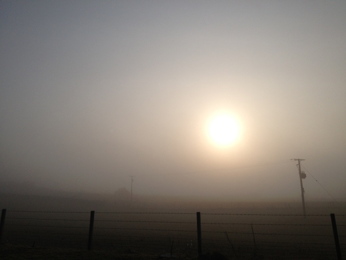
 In recording this site, I wanted to link together these places (and people) across the UK and Orkney physically and electronically, using satellites circulating in Mid Earth Orbit via my small GPS receiver. Later in the evening, I went for a walk up Brinkie’s Brae, a small granite hill behind Stromness with clear views to the north, to try and see the aurora (nearly 50% probability according to SpaceWeather.com), and caught a faint glimpse of green in the northern sky, linking MoM (spatially and materially) with other northern latitudes and electromagnetic storms from the sun catching the Earth’s upper atmosphere.